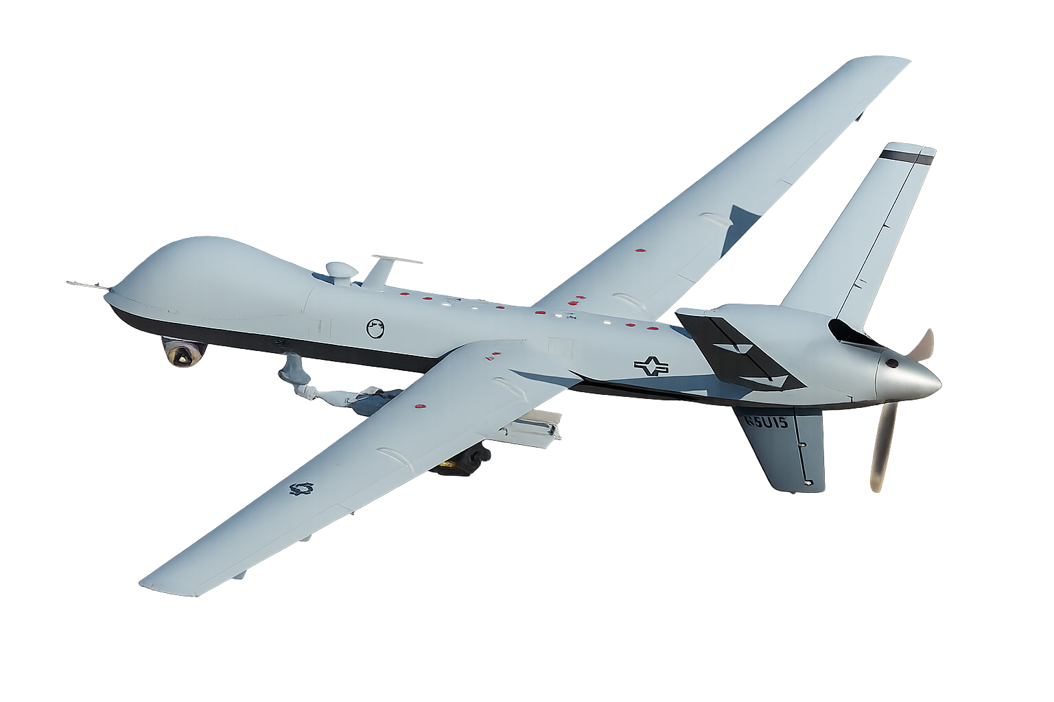
Synthesiumtech enhances ArduPilot and PX4 capabilities through the development of new modules for mission analytics and real-time situational awareness across all domains.
ArduPilot can control several types of hardwares such as multi-copters, traditional helicopters, fixed wing aircraft, boats, submarines, rovers and more.
Is the peripheral sensors, controller, and output devices that act as the vehicle's eyes, ears, brain and arms. Almost any mobile machine can be transformed into an autonomous vehicle, by simply integrating a small hardware package into it. Hardware packages begin with a controller. Using inputs from sensors, the controller is able to send outputs to devices such as ESC's, servos, gimbals and other peripherals.
Is the code running on the controller. You choose the firmware to match your vehicle and mission: Copter, Plane, Rover, Sub, or Antenna Tracker.
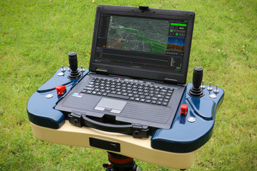
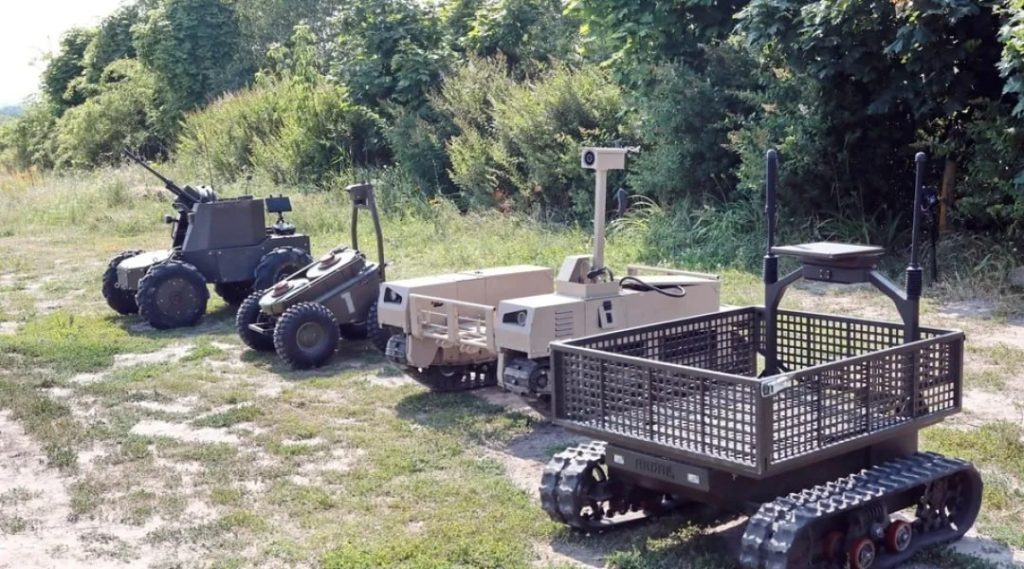
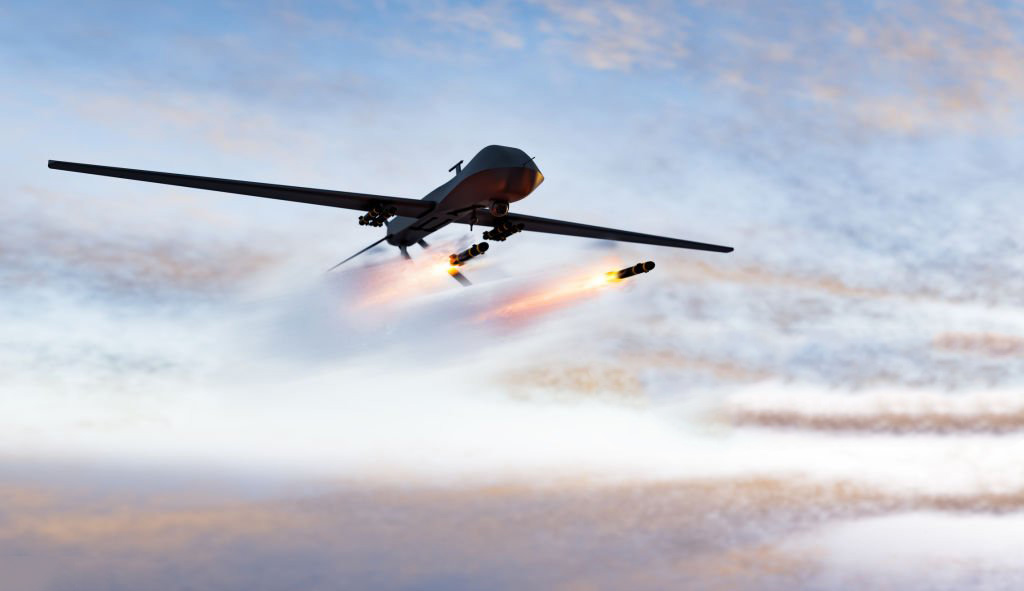
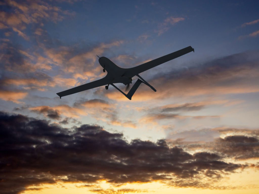
Ground Control Stations (GCS) that coordinate unmanned systems — such as UAVs (aerial), UGVs (ground), and USVs (surface) — play a crucial role in modern strategic operations and defense systems.
These control centers provide comprehensive command and control over unmanned vehicles, including swarm management, enabling them to perform complex missions and collaborate autonomously, which significantly enhances operational efficiency, flexibility, and system resilience under a wide range of conditions.
The integration of robotic and unmanned systems with swarm technologies allows for effective operation even in adverse weather, low-visibility environments, and areas with obstacles or challenging terrain. As a result, unmanned systems maintain precision, stability, and coordinated performance, ensuring successful mission execution across any scenario — from reconnaissance to search and rescue.
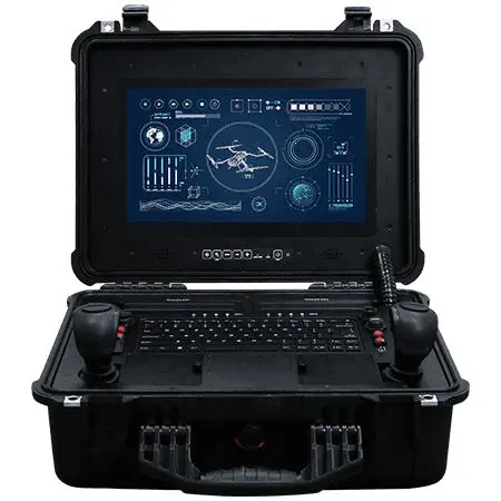
The AGCS uses Mavlink and STANAG 4586 type messages to cover the flow of all the important procedures and parameters between airborne aircraft and ground control segment. Considering above facts, the GCS software layout flexibility allows for implementation in Mini, Tactical or even Male class UAV platforms.
Application modular architecture allows for intuitive and easy layout modification with use of dedicated logging and user verification module. Ground control station allows for simultaneous three unmanned platform operation. GCS software includes built-in map module allowing for flexible worldwide operation.
Map module contains embedded layer configuration tool allowing for any layer modifications, translucency setting, self-defined polygons and areas generation. Mission waypoints generation can be done by use of 2D or 3D interface. All mission waypoints may be moved during the mission progress. Both onboard (autopilot) and GCS mission plans are stored separately and may be synchronized at any time. Asseco GCS software supports any autopilot and payload functionalities needed for proper mission execution.
Sinthesium designs electronic and embedded systems for measurement, control, and data transmission — including specialized sensor modules for unmanned and robotic platforms. The A-Tech AH01 is our in-house development, combining hardware, embedded firmware, data processing, and a digital interface for integration with onboard avionics.
The A-Tech AH01 is a compact digital airspeed measurement module designed for integration into the onboard systems of fixed-wing unmanned aerial vehicles.
It uses differential-pressure measurement to determine airspeed and features an electric heating system that keeps the module stable in low-temperature conditions.
ArduPilot is a reliable, versatile, and open-source autopilot system that
supports a wide range of vehicle types.
Its source code is developed by a large international community of professionals and
enthusiasts. Building on this foundation, our team conducted in-depth research, rewrote numerous
faulty sections, and fixed errors to improve the system’s quality and stability.
Over the years, we have expanded the core functionality with our own modules, enhancing navigation, mapping, and mission planning — creating a product that easily integrates with various systems and continuously evolves through the work of our specialists.
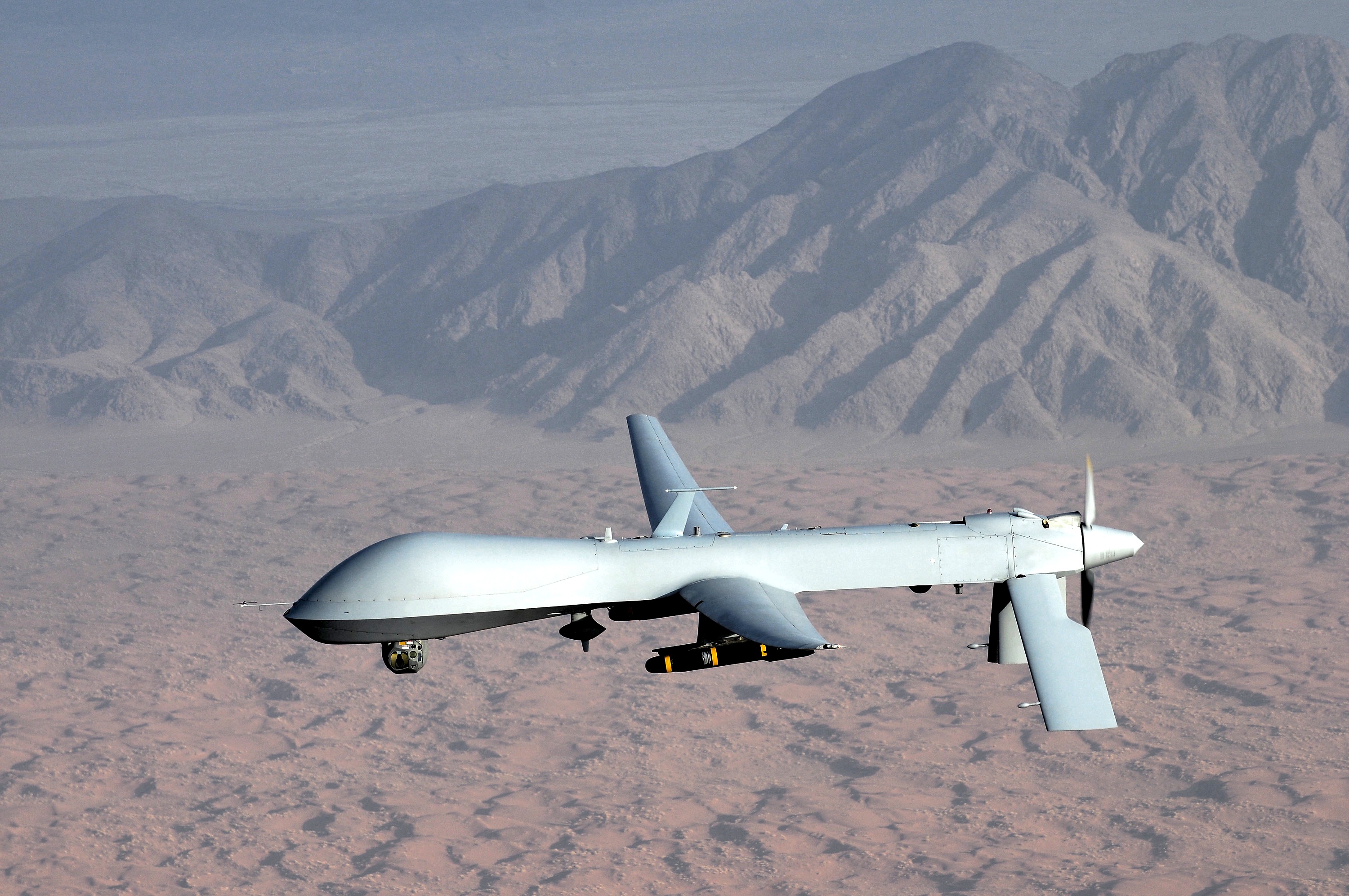
Discover a set of smart and intuitive features built to simplify your workflow. Synthesiumtech turns complex data into clear visuals, helping teams make faster and more confident decisions
Uniting UAV Autonomy and Human Intelligence — Synthesiumtech bridges ArduPilot & PX4 into one adaptive ecosystem for real-time mission control across air, land, and sea.
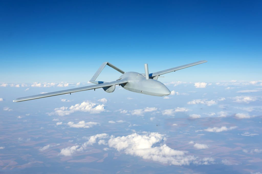
Explore a comprehensive gallery of high-resolution UAV images, captured in real time during operations. Each image provides detailed insights into system performance, component behavior, and environmental conditions, making it easier to analyze complex data and identify patterns. With Synthesiumtech, you can quickly access, compare, and annotate these images, turning raw visual data into actionable information for your team, reports, or presentations. These visuals are fully integrated with other system metrics, allowing you to correlate images with performance logs, timelines, and active nodes, giving you a complete understanding of your UAV operations
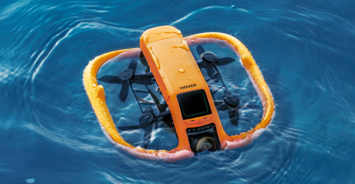
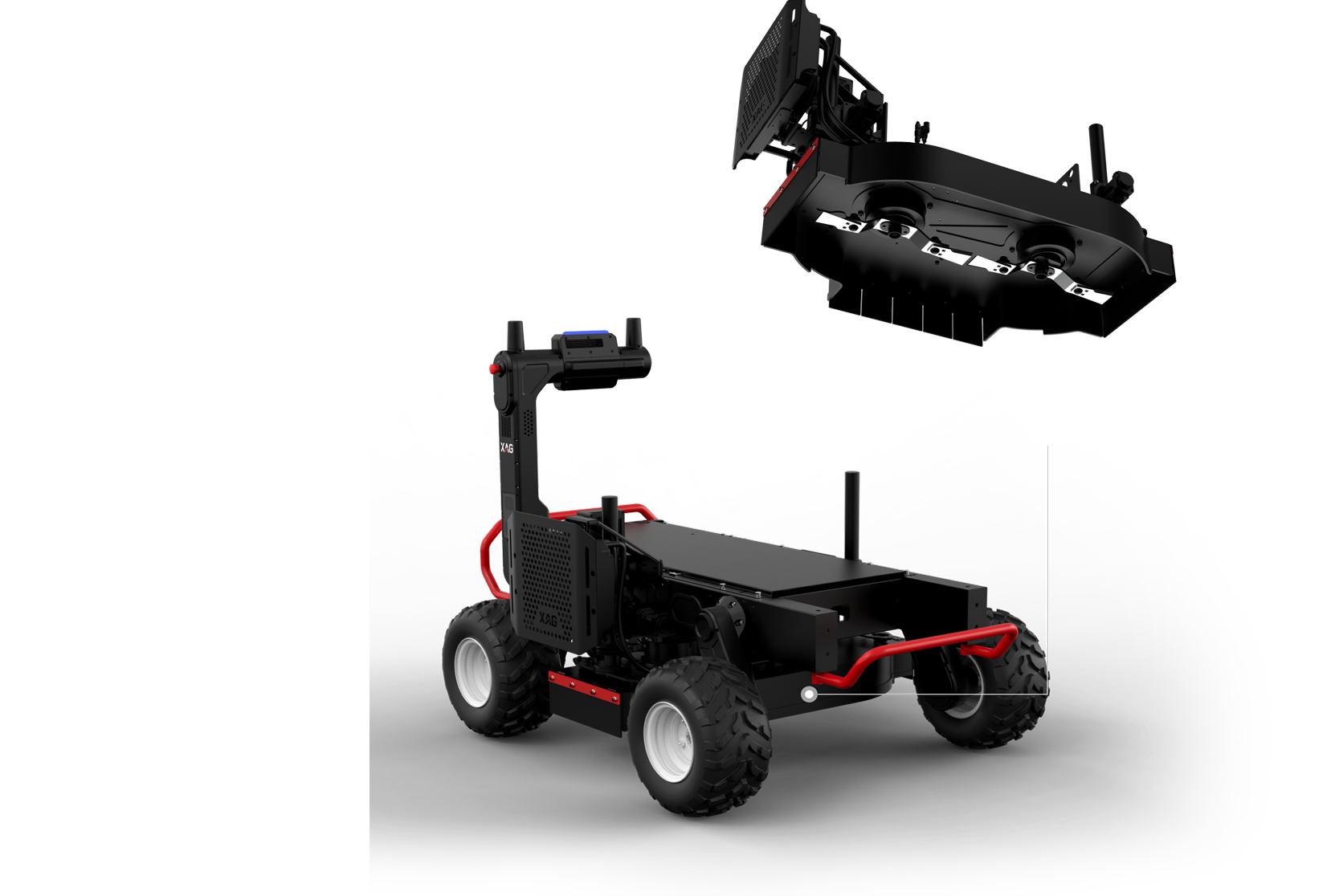
We’re here to help! Reach out to our team for support, questions, or to learn more about how Synthesiumtech can transform your UAV operations. Whether you’re interested in features or integration, we’ll respond promptly to ensure you get all the information you need.
Monday - Saturday
9:00am - 8:00pm